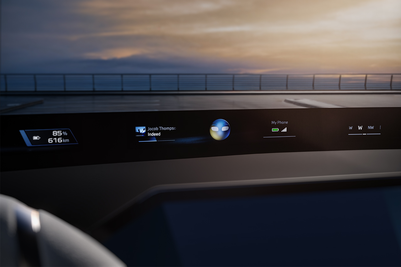








In cars with the BMW Operating System X, navigation and driver assistance will soon be merged into a single integrated view. From October 2026, BMW Maps with Driver Assistance1 will present a joint 3D image showing how the route, vehicle surroundings and driver assistance systems are interacting. This will help drivers stay oriented in complex traffic situations and better understand what the automated functions are doing. A glimpse into the future of driving.

Innovation
25.09.2026
3 MIN
How BMW Maps combines navigation with driver assistance.
Route and vehicle surroundings all in a single picture.
“Turn right now” – the navigation instructions stay the same, but what you see on the screen will be entirely new. The map will show not just the route but also what the vehicle detects and how it is reacting. BMW Maps with Driver Assistance will offer more than just directions: it will anticipate what you need to know.
Due for launch in October 2026, BMW Maps with Driver Assistance will be available in vehicles with BMW Operating System X.
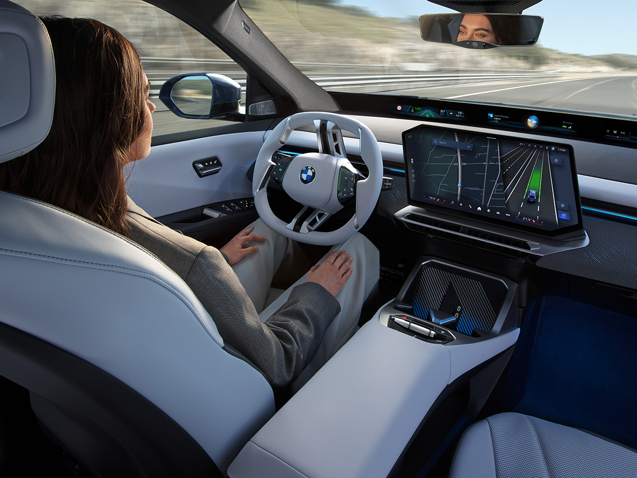
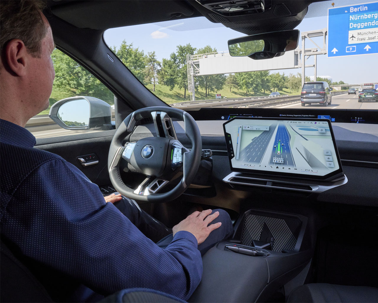
Until now, navigation and driver assistance information was often displayed separately, with the route shown in one place and the vehicle surroundings in another. BMW Maps with Driver Assistance1 now combines the two, with the central display showing the route, the vehicle’s surroundings and driver assistance information together – all in a single 3D view.
Drivers will see not just upcoming route instructions but also how the vehicle views the situation. Details will include which lanes the car detects, other road users in the immediate vicinity, and which assistance feature is currently active.

Taking the stress out of changing lanes.
Misjudging a lane on the motorway can be stressful. This is where BMW Maps with Driver Assistance comes into its own: drivers can see their own car on the display, in its exact lane and on the correct level of a multi-level road. The benefit is especially noticeable on complex intersections, multi-lane motorways and in busy city traffic.
At the same time, drivers will be able to see what the vehicle is doing and why. This degree of transparency is especially helpful after the assistance systems have done longer periods of active driving, or in challenging situations.
Hands-free at up to 130 km/h – from entry to exit.
A good example is the Highway Assistant2, which offers hands-free driving on motorways at up to 130 km/h. As well as taking care of speed and steering, it supports automated lane changes, provided the driver has approved the manoeuvre by glancing in the mirror.

When active route guidance is enabled via BMW Maps, the Highway Assistant can support drivers all the way along the motorway, from entry to exit. Navigation and driver assistance systems are already working seamlessly together in concert.
Urban traffic: The challenges of traffic lights, roundabouts and junctions.
What works on the motorway is put to the test far more rigorously in the city, as urban traffic is much more complicated. Turning lanes and priority rules vary, and traffic lights, roundabouts and junctions are everywhere. Here, the interplay between navigation and driver assistance matters all the more.

From 2027, navigation-led, partly automated urban driving will be rolled out in models with BMW Operating System X.
The strategy behind BMW Maps.
Stephan Durach, Senior Vice President of Digital Services, Infotainment and Connected Company at the BMW Group, explains the strategic relevance of this development:
“An important step toward highly automated driving is the intelligent interaction between navigation and driver assistance. BMW Maps with Driver Assistance shows drivers how route guidance, environmental perception, and assistance functions work together. This provides better orientation when driver assistance is active – developed by the BMW Group in collaboration with Mapbox.”

Summary
BMW Maps with Driver Assistance
- All in a single 3D view: From October 2026, models with BMW Operating System X will offer BMW Maps, which integrates navigation, situational awareness and driver assistance information in a single 3D view.
- Driver assistance becomes more intuitive to understand: The integrated view shows the vehicle’s situational awareness and which assistance features are currently supporting driving, whether in complex city traffic or hands-free on motorways.
- Intelligent interplay between navigation and assistance: Developed by the BMW Group, BMW Maps with Driver Assistance combines accurate map information with situational awareness and artificial intelligence. BMW Maps uses navigation data from BMW Maps and map technologies by Mapbox.
1 BMW Maps with Driver Assistance is only available in combination with the Highway Assistant or the Highway & City Assistant in selected countries and cities and for selected roads. It will be further developed in stages.
2 The availability, range of functions and system limitations of the Highway Assistant and Highway & City Assistant may vary between countries.